About This Guide
A local guide to northern Michigan's Inland Waterway - for boaters on the route and for travelers visiting the towns along it.
Photo: Burt Lake, by Notorious4life, via Wikimedia Commons (CC0).
The Waterway
Northern Michigan's Inland Waterway is Michigan's longest chain of rivers and lakes. It runs about 38 miles from Lake Huron at Cheboygan to Crooked Lake near Conway.
The route follows the Cheboygan River, Mullett Lake, Indian River, Burt Lake, Crooked River, and Crooked Lake, with a connection to Pickerel Lake. Two locks - one in Cheboygan and one in Alanson - make the trip possible for boats.
This is a place for boaters and paddlers, and for people who come by car to visit the towns, parks, and shoreline along the way.
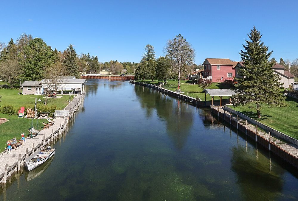
Indian River from the North Central State Trail. Photo by Tim Kiser, CC BY-SA 4.0, via Wikimedia Commons.
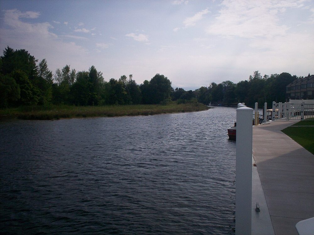
The Cheboygan River in Cheboygan. Photo by Neuhausa, public domain, via Wikimedia Commons.
A Shared History
Long before locks and steamboats, Native peoples and later fur traders used this inland route. By following the lakes and rivers to Crooked Lake, they had only a short portage to Little Traverse Bay and could avoid a trip through the Straits of Mackinac.
Emmet County notes that many Native American encampments have been found along the shores, including a site at Ponshewaing with artifacts more than 3,000 years old.
Burt Lake and Mullett Lake are named for William A. Burt and John Mullett, who made a federal survey of the area from 1840 to 1843. A lock completed on the Cheboygan River in 1869 opened the route to the Cheboygan Slack Water Navigation Company. Its vessels carried passengers and freight until railroads took over the trade. Day-long excursions later became popular with tourists.
A Michigan Historical Commission marker at Burt Lake State Park tells this story. In Alanson, the Inland Water Route Historical Society Museum preserves the history of the communities along the route.
Why This Guide
This site is a practical guide to the waterway and the towns along it. It is here for people traveling the route by boat, and for people driving in to visit businesses, nature areas, and attractions.
It is a companion to the Tunnel of Trees M-119 guide, which covers the nearby scenic drive between Harbor Springs and Cross Village. Together, they point visitors toward two of northern Lower Michigan's classic trips: one on the water, and one through the trees.
We aim to keep this site accurate and useful. Hours, fees, and water conditions change, so we point you to official sources for current lock schedules and park details.

Who's behind it
I'm Andrew Dawley, northern Michigan through and through, born and raised in Petoskey. The Inland Waterway runs through the heart of the country I grew up in: the rivers, lakes, and small towns between Cheboygan and Conway.
I started the Northern Michigan's Inland Waterway Facebook page in July 2016, and put this guide together to help boaters and road-trippers find their way along it, discover the towns, parks, and history at every stop, and leave it as beautiful as we found it.
Follow along
For photos, news, and local updates, follow Northern Michigan's Inland Waterway on Facebook, or send us a note.