Plan Your Trip
Plan your visit to Northern Michigan's Inland Waterway. Come by boat, by bike, or by car and find the locks, boat access, and places to stop along the 38-mile route.
Hours, fees, and conditions change. We link to the official pages instead of printing schedules or prices. Check them before you go.
By boat: the locks
Two locks lift boats along the route. Use the official pages for the current schedule and any fees.
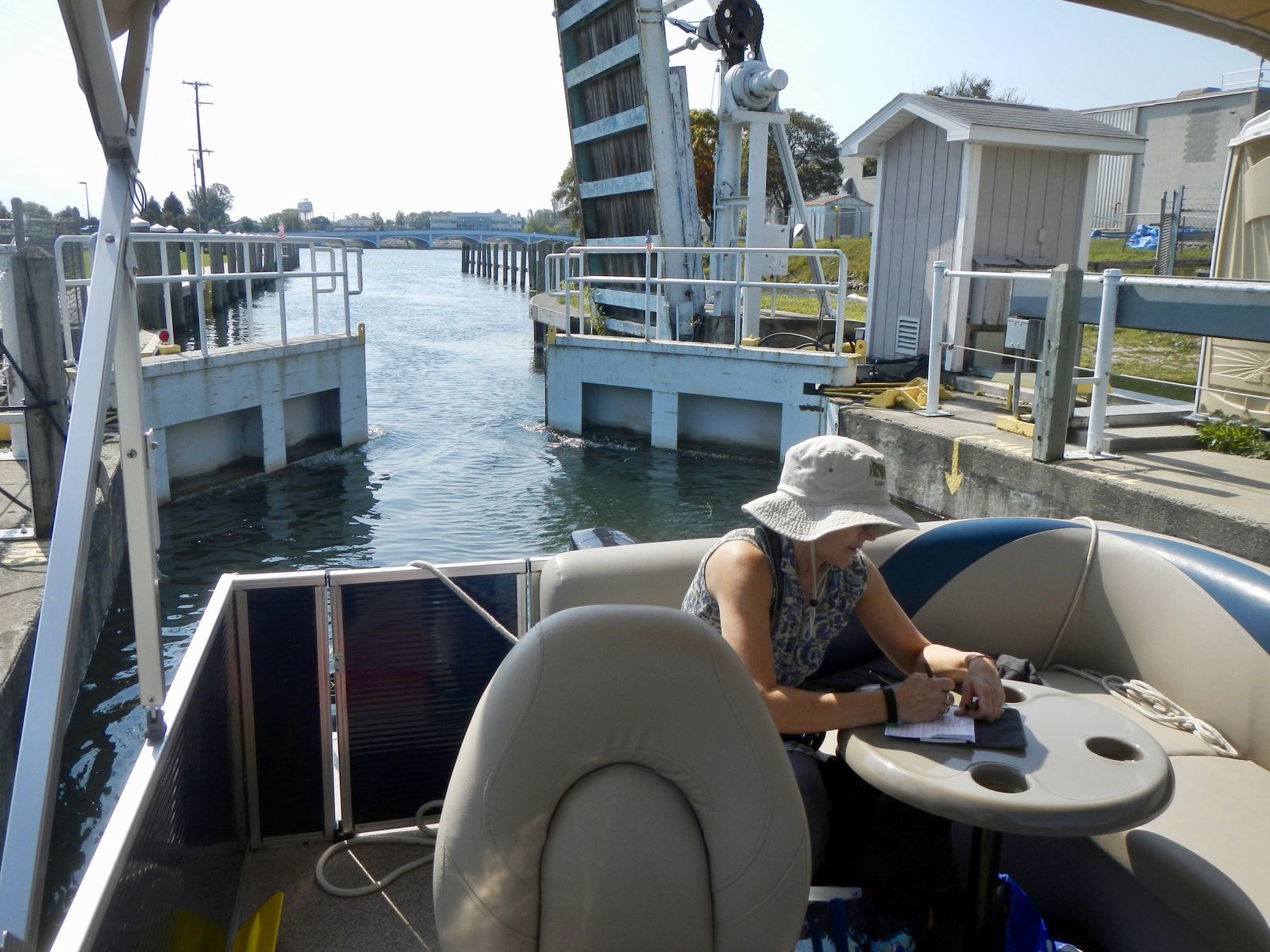
Cheboygan Lock
The eastern gateway of the waterway, where the Cheboygan River begins the climb toward Mullett Lake.
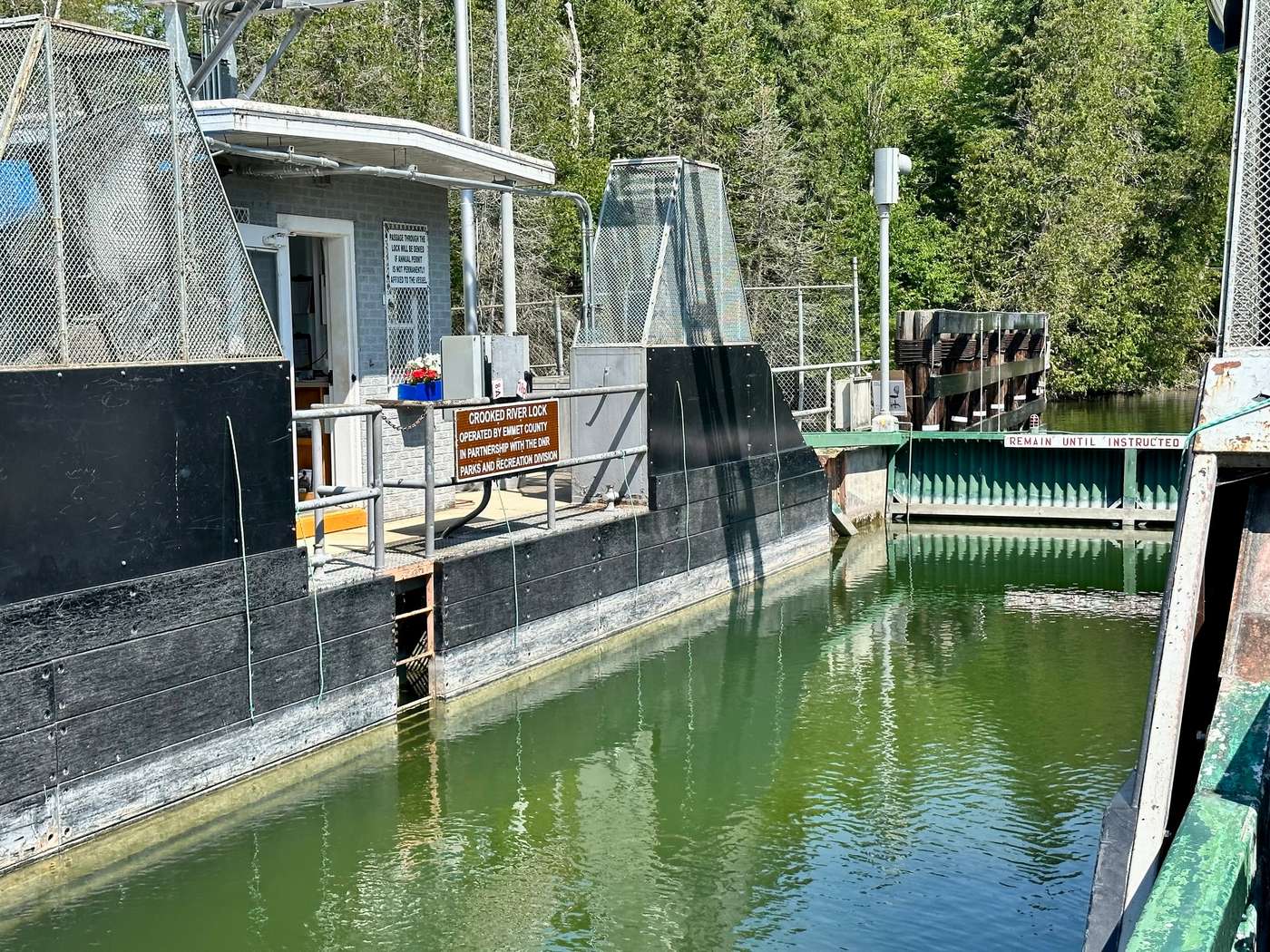
Crooked River Lock
The western lock, in Alanson, helping hold water on Crooked and Pickerel lakes.
By boat: access and marinas
Launches and marinas, each with its official page. Some sites are limited, so check before you haul a trailer.
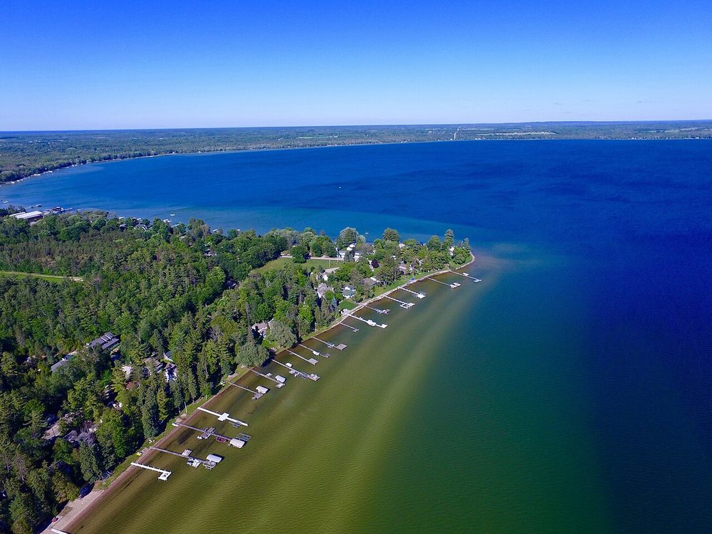
Dodge Point on Mullett Lake.
- Water Street Park boat mooring, Cheboygan (city parks page)
- Aloha State Park launch
- Boy Scout Park / Jewell Road launch and Topinabee road-end launch (Woodruff Street), Mullett Township
Boy Scout Park / Jewell Road: Apple Maps · Google Maps
Woodruff Street access: Apple Maps · Google Maps
- Gravel launch at the end of Lake Street, Alanson, noted on the Little Traverse Conservancy preserve page
By bike or snowmobile
The rail trail that follows the waterway.
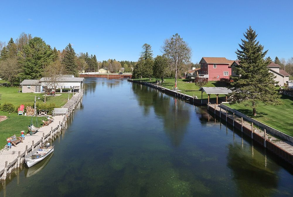
North Central State Trail
The North Central State Trail is a 75-mile crushed-limestone rail trail from Waters to Mackinaw City, managed by the Michigan DNR. Along the waterway it runs from Indian River through Topinabee into Cheboygan: about 17½ miles of mostly level trail, with trailheads in all three towns.
It is open year-round for biking, hiking, and horseback riding, and snowmobiles are allowed from December 1 to March 31. Check the official DNR trail page for maps and current conditions before you go.
North Central State Trail page
Top of Michigan Trails Council
Indian River trailhead: Apple Maps · Google Maps
Topinabee trailhead: Apple Maps · Google Maps
Cheboygan trailhead: Apple Maps · Google Maps
By car
Drive the same path the boats take, from Cheboygan to Conway, through the towns, parks, and locks along Northern Michigan's Inland Waterway. The list follows that order. A few stops sit a short side trip off the main road.
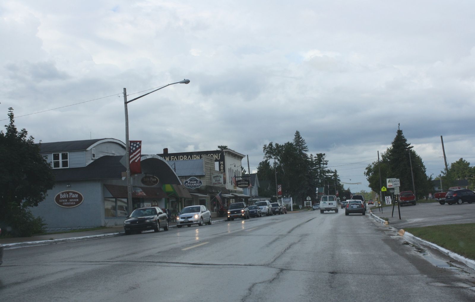
Downtown Alanson on U.S. 31.
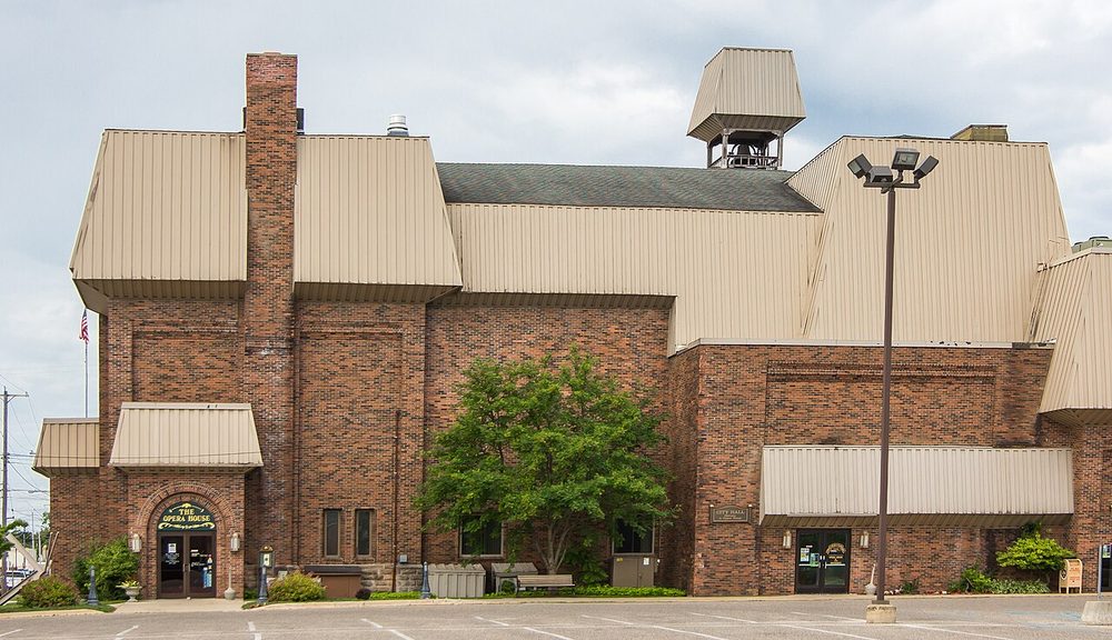
- 3. Downtown Cheboygan and the Cheboygan Opera House
Historic theater and shops at 403 N. Huron Street. - 4. Water Street Park and City of Cheboygan Marina
Riverfront park and boat mooring on the west bank downtown. - 8. Aloha State Park
Mullett Lake
Mullett Lake launch and swim beach, 4347 Third Street. Side trip to the northeast shore via M-33 and M-212. - 11. Indian River
Village between Mullett and Burt lakes, with the trailhead at 3435 S. Straits Highway. - 12. Tuscarora Township Marina Park
Where the Indian River meets the Little Sturgeon River.Park: Apple Maps · Google Maps
Boat launch: Apple Maps · Google Maps
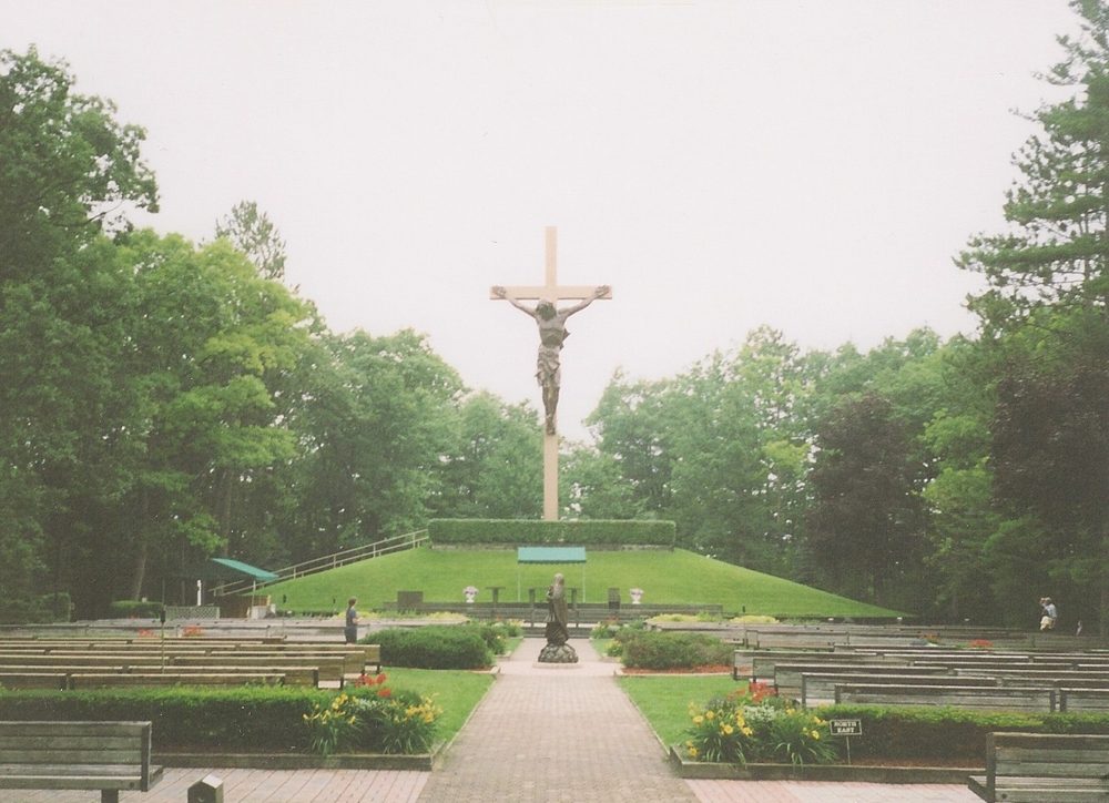
- 13. National Shrine of the Cross in the Woods
Shrine and open grounds, 7078 M-68. Short side trip in Indian River. - 15. Seven Springs Nature Preserve
Conservancy trails to the Burt Lake shore, 2787 Chippewa Beach Road. Short detour to the shore. - 17. Alanson downtown and swing bridge
Shops and river boardwalk, with the museum at 6217 River Street.Museum: Apple Maps · Google Maps
Swing bridge: Apple Maps · Google Maps
- 19. Camp Pet-O-Se-Ga
County park and campground on Pickerel Lake, 11000 Camp Petosega Road. Side trip east of U.S. 31. - 20. Conway and Crooked Lake
Historic community at the west end of Crooked Lake.Boat launch: Apple Maps · Google Maps
Top spots
Twelve stops worth planning around.

Oden State Fish Hatchery
A state hatchery and visitor center on Crooked Lake.
Inland Water Route Historical Society Museum
The waterway's own museum, in the historic Alanson Village Hall.
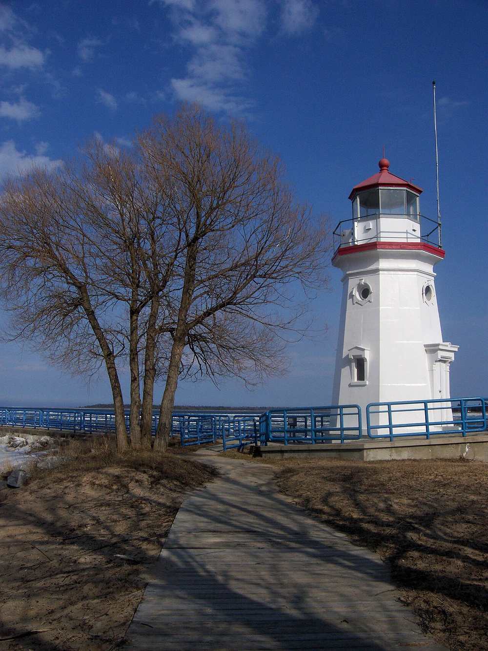
Cheboygan Crib Light
A historic crib light where the waterway meets Lake Huron.
North Central State Trail
A crushed-limestone trail from Indian River to Cheboygan.
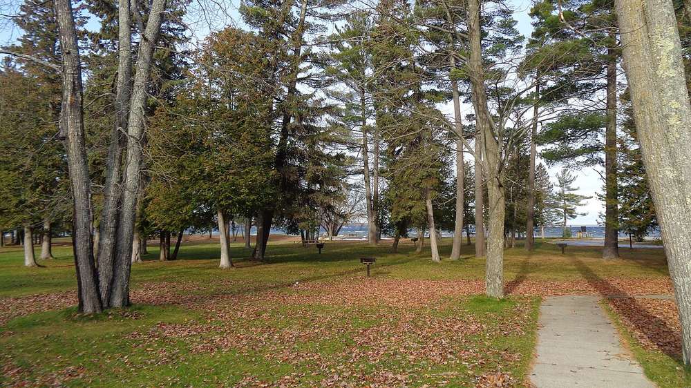
Seven Springs Nature Preserve
A Little Traverse Conservancy preserve on Burt Lake.
More places along the way
Official pages for towns, parks, preserves, and history. They open in a new tab.
Towns
- Oden (via the state hatchery page)
Parks and preserves
- Cheboygan State Park (on Lake Huron, not the inland lakes)
History and culture
- History Center of Cheboygan County (confirm hours with them)
Before you go
Hours, fees, and conditions change. Check the official lock pages first.
Photo credits
“Burt Lake (November 2019)” hero photo by Notorious4life, via Wikimedia Commons (CC0). “Close the Lock” (Cheboygan Lock) by PunkToad, CC BY 2.0, via Flickr. Crooked River Lock: U.S. Army Corps of Engineers photo by Brandon Hubbard, public domain, via DVIDS. Courtesy photo of Burt Lake State Park by Notorious4life, via Wikimedia Commons (CC0). “Cross in the Woods, Indian River, Michigan” by Michael Barera, CC BY-SA 4.0, via Wikimedia Commons. “Cheboygan Opera House” by rossograph, CC BY-SA 4.0, via Wikimedia Commons. “Cheboygan Crib Lighthouse” by Eric Rae, CC BY 2.0, via Wikimedia Commons. “Indian River from the North Central State Trail” by Tim Kiser, CC BY-SA 4.0, via Wikimedia Commons. “Dodge Point on Mullett Lake in Cheboygan, MI” by Cbower729, CC BY-SA 4.0, via Wikimedia Commons. “Downtown Alanson, Michigan on U.S. Route 31” by Royalbroil, CC BY-SA 3.0, via Wikimedia Commons. Logo placeholders mark places where we do not yet have a photo.